|
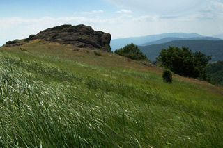
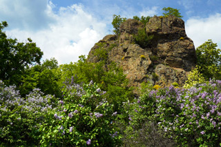
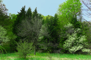
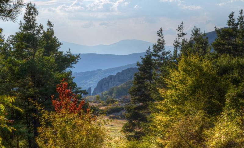
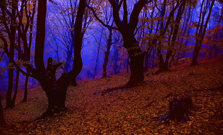
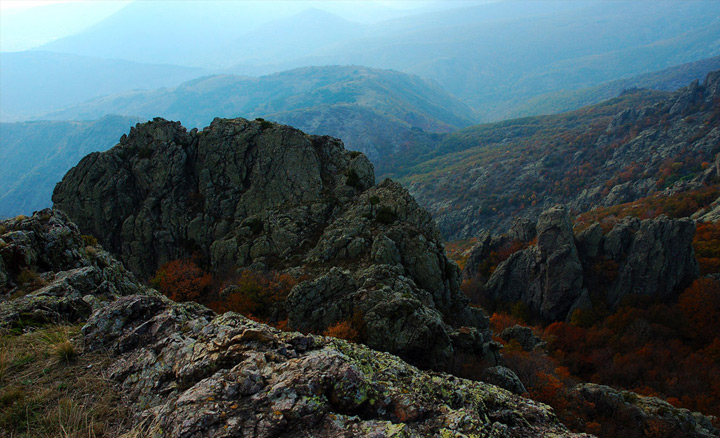
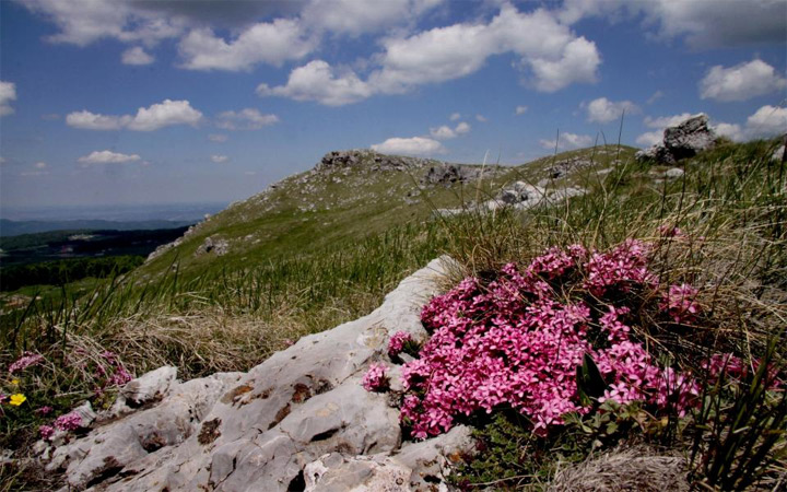
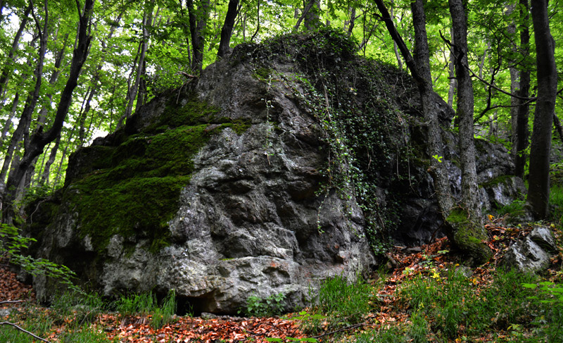
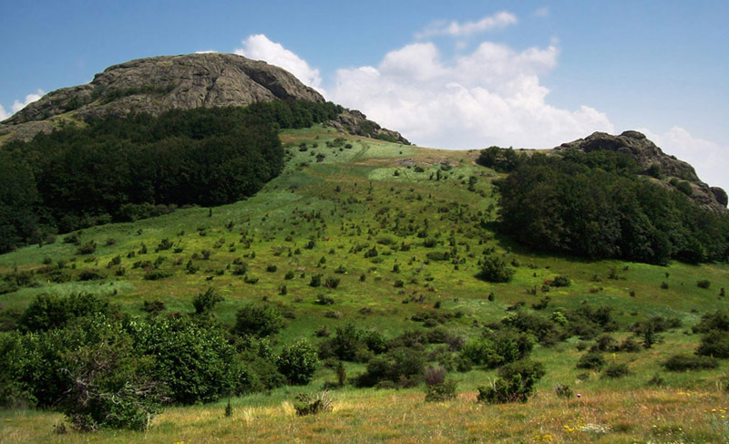
Blue stones is one of the most beautiful, most romantic parts of the Eastern Stara Planina mountain (Balkan).
Each vale each rock here has different and scenic view, countless waterfalls brokes the silence of the valley. Hundreds of pools are covered by hazelnutand and walnut trees. Passengers are amazed at every turn by the wonderful paintings that nature composes so skillfully.
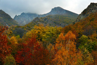
The terrain is diverse and distinctive, highly segmented, very different from that of Western and Central Stara Planina.
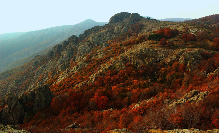
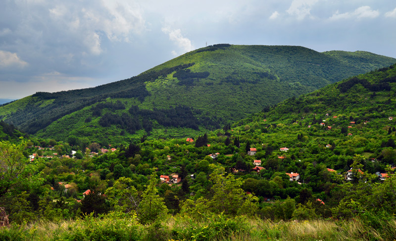
The landscape of the Blue Stones Natural Park is determined by complex tectonic and geological structures. Its lowest area is 290 meters above sea level, the highest point - Balgarka peak is 1181 m, the highest peak of the whole Eastern Stara Planina.
For additional information connect with
Department of Sinite Kamani Natural Park:
Website www.dppsk.org Facebook: 
Address: 1B Tsar Simeon Street, 8800 Sliven, Bulgaria
Phone: +359 44 66 29 61, +359 44 62 46 32
|
|
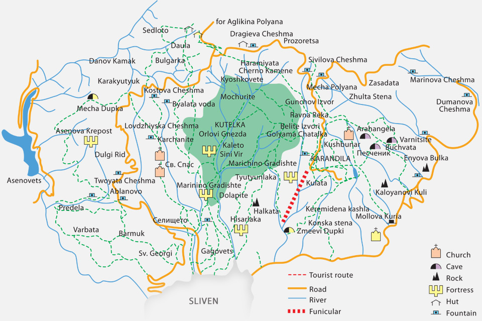
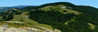
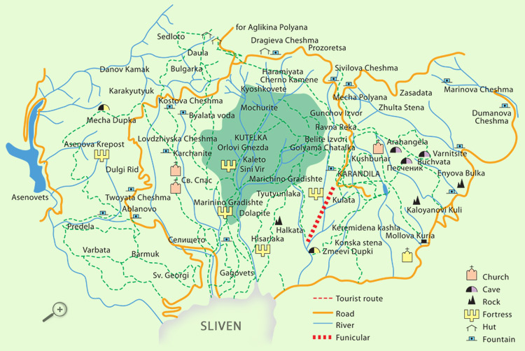
| Tourist objects in the Blue Stones Natural Park |
|
|
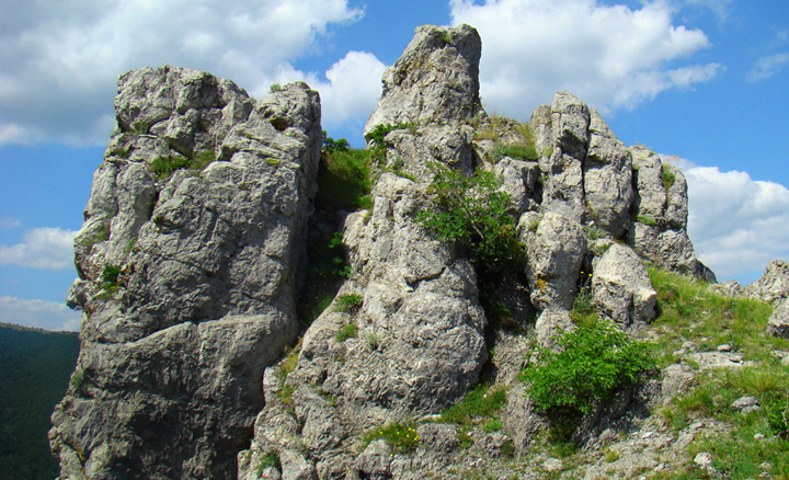
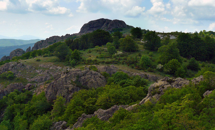
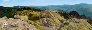
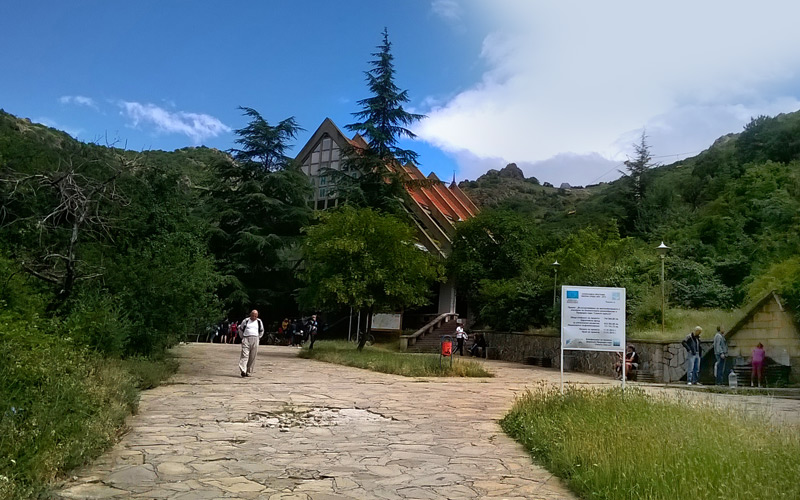
The most famous, the most visited, located in the midst of high rocky peaks area, about 1050 meters above sea level. Here are the tourist complex, multiple departmental rest houses facilities for sport, karandila's artificial lake.
nd on the peak Kulata were built TV repeater and track for paragliding. Here is the famous Karandila's glade, the one of which is annually carried out festival of the Karakachans from Bulgaria and neighboring Balkan countries.
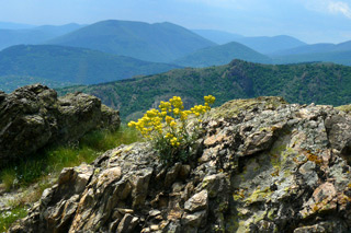
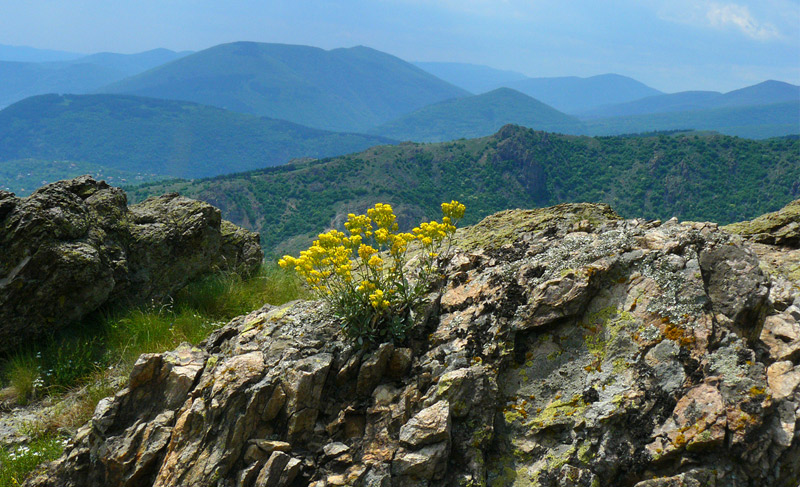
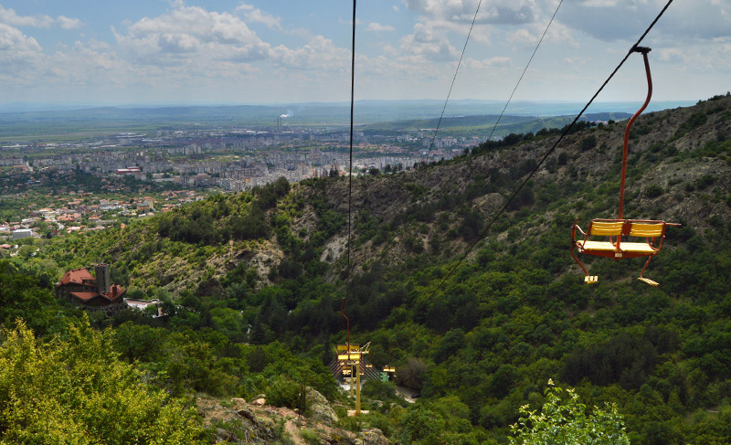
From the glade are reveals glance at the surrounding cliffs, peak Ruina, Stidovska and Grebenets mountains to the valley of the river Sotirska, to the Sliven’s plain, into Barshen and Monastery Heights, to the town Sliven.
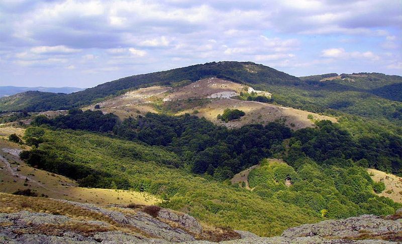
Karandila is the richest in species and subspecies of Nature Conservation, relicts and endemics. There are 28 species and one subspecies (40% of those registered in the park.
The area is famous with many types of orchids - maximum number (26) distributed on the territory of the Sinite kamani.
|
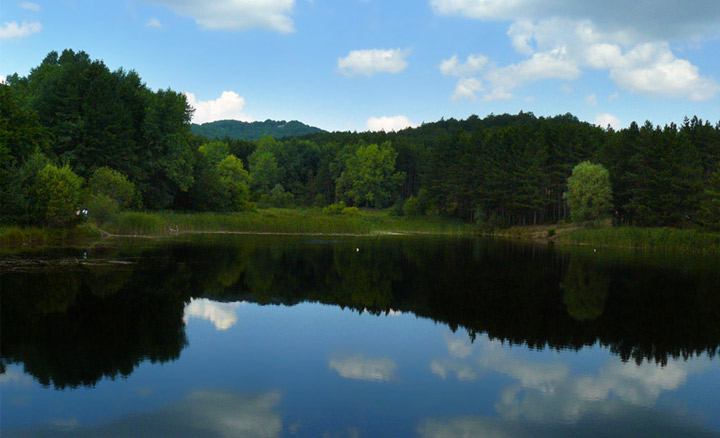
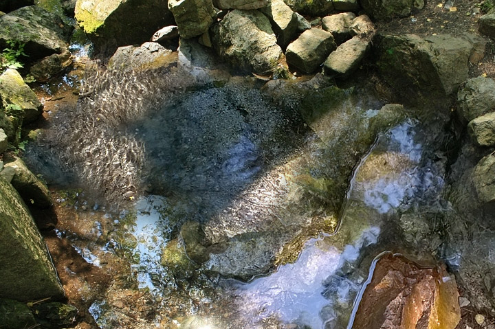
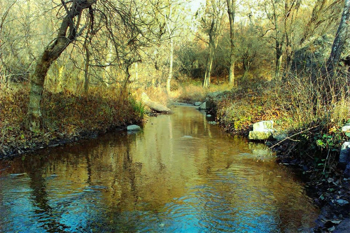
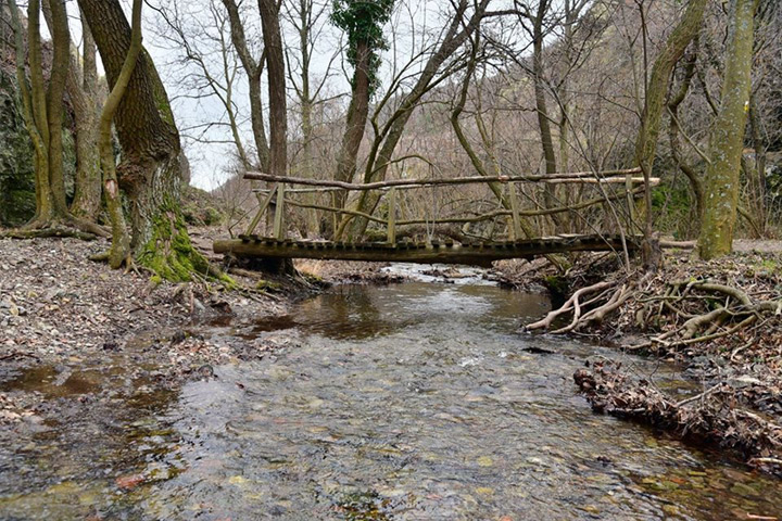
The Kushbunar rver is one of the most interesting rivers here. It is calm in its begining, but lush and impetuous, with 100 whirlpools, thresholds and waterfalls in the bottom southern part.
|
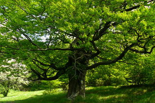
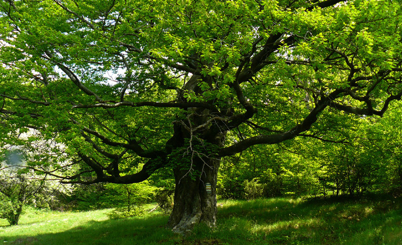
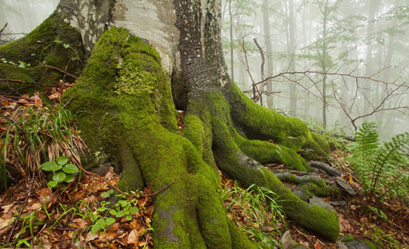
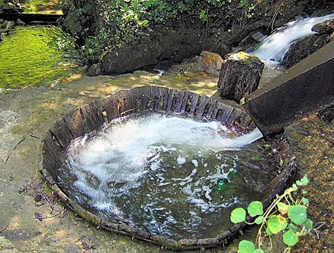
The high mountain Kushbunar spring is located here, among the 400-hundred year old beech trees.
|
Vertical cliff perking east of along the River Kushbunar and southeast of the artificial lake in the area Karandila at an altitude of 1000 m.
|
| Here people of strong emotions can experience the thrill of alpinist, when climbing alpine routes. |
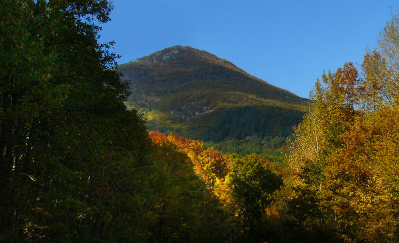
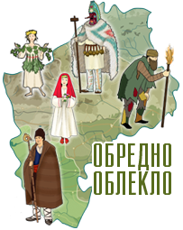
There is something extremely curious about the peak Where does the name? Why is a Bulgarian woman, when they call it that? The explanation is found in the two legends:
One of the decisive battles for the establishment of Bulgarian country with the Byzantine army led by Emperor Nikifor happened in Kotel’s col. Heavily armed Byzantines, returning to Byzantium, entrusted with the rich booty were hardly moving and defeat them was terrible.
Nikifor was murdered. The troops of Khan Krum were formation to be greeted by their leader. At the end of the rows standing women. The Khan was surprised and asked who they are, what they do among hardened in many battles men? Someone responded to him, that they were wore food and water, weapons and accoutrements, that one of them participated in the battles. Surprised by their heroism Krum in recognition called the highest peak in Eastern Stara Planina - Bulgarka ...
It is believed that the Ottomans long ago looking for opportunity to catch and turkicisation a beautiful Bulgarian woman. Finally they indulged such a case. The girl won’t it, but no one asked her. Headed for the field to make her Machometan woman. Feeling yours bitter fate the proud amazingly beautiful Bulgarian girl started to cry. She seeking a way out to rescue. The road passed through a high peak. Raiders decided to rest.
They untied the girl. And in that minute she ran, climbed on top and threw herself off the cliff down. As a memorial to her early death, for the glory of her name, people called the peak Bulgarka. |
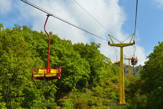
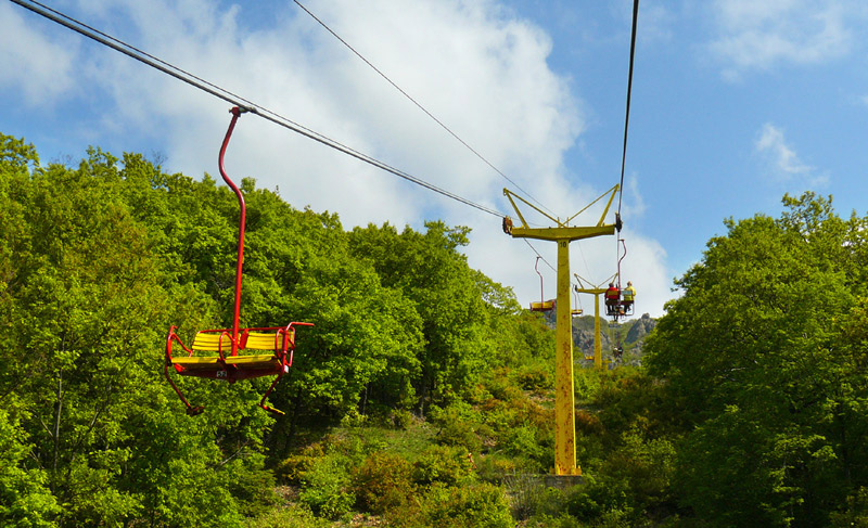
Opened on March 22, 1974. About 18 minutes traveling distance of 1890 meters between the lower and upper station, at 597 meters denivelation.
For an hour 360 people have the opportunity not only to be transported to the recreation area in Karandila, but also to enjoy the rising quartz-porphyry cliff Blue Stones - one of 100 similar objects in Europe.
|
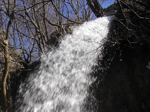
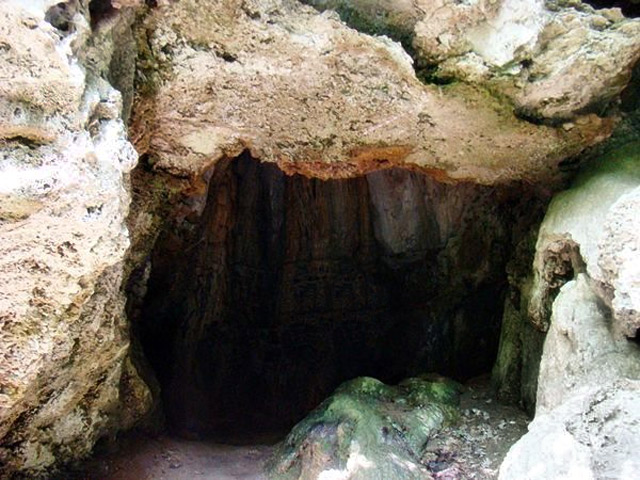
| Futula cave and waterfall |
"Futula cave and waterfall are located 950 m. above sea level, west of the peak Malka Chatalka and south of the fountain of Zlatko Chorbadzhi, along the river Ravna reka. A real pastime of nature.
Under 10 meter waterfall is elongated domed cave with dimensions 3/3 meters, tall 4 meters and wide opening to the east. The walls and ceiling are sculpted by the contact of water with carbonate rocks calcareous adjournments and formations.
|
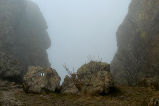
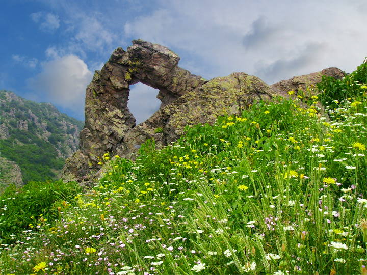
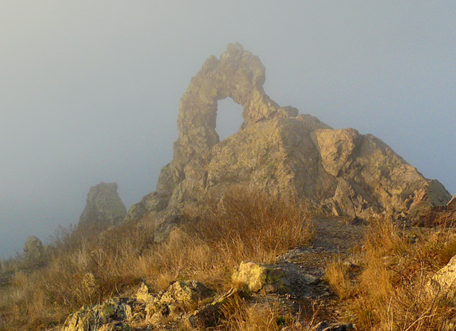
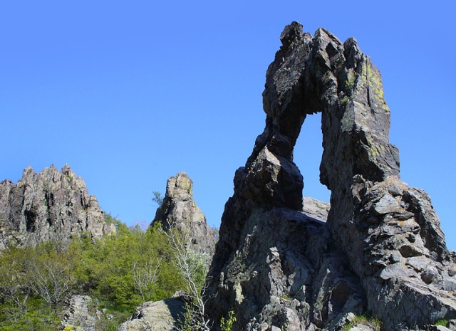
Halkata (the ring)
natural phenomenon |
It is a rock formation, one of the symbols of Sliven, attracting with the uniqueness of the arcuate crown above the hole, with stories about her magical power, influencing the love; about sea slopped, seafarers’s fight with marine element.
|
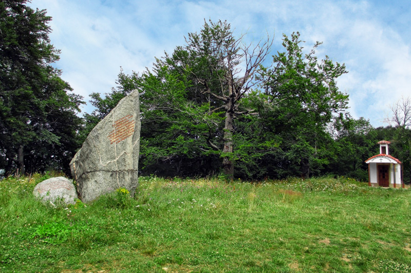
Aglikina Polyana
(Primrose Meadow) |
Aglikina Polyana is a historic site, located 38 km northwest of Sliven, in the Elena Balkan. It is a spacious meadow surrounded by ancient oaks and beeches. The Stara Planina pass "Vratnik" is located about 1-2 km west of this mountain pasture.
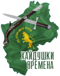
In Bulgarian history during the Turkish syoke this area was known as a gathering place for haidouks. Aglikina Polyana is associated with the name of the legendary Elenka Voivoda and other rebels in the XVIII-XIX centuries. It is mentioned in the memoirs of Panayot Hitov, in the works of Yordan Yovkov and in the haidouk folk songs. A folk festival with chants known as "Celebration of the banditry" is held on Aglikina Polyana.
This area with 120 ha was included in the protected areas and was declared a protected area..
|
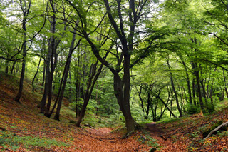
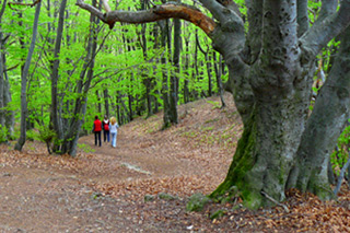
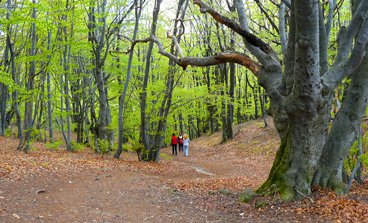
Haidushkata pathway starts from the visitor information center at the Blue Stones Natural Park. It’s uneven, steep and stony, sinuous between hornbeams, durmast and beech trees. the shortest pathway leading to Karandila locality. Once time ago along this trail rebels quickly and quietly they have hidden themselves out of sight of the Ottomans. From here comes the name of the path - Haidushka.
To the right of the path there on the pass is "Roofing tiles kashla" and a hundred meters south into the gully – the Zmeevi dupki (Dragon holes) cave. Nearby there is a mountain shelter and a place for rest. After Kashlata pathway leads to Maryova cliff and from there continues to White fountain, built after the capitation of Fern spring under Karandila tourist complex .
|
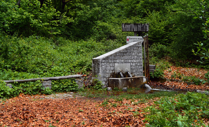
Byalata voda is spring turned into fountain located in the upper reaches of the Monastery river, on the pathway leading from the Selishteto locality to White Springs, peak Bulgarka and Daulite locality.
|
Situated two kilometers north of Sliven, around the confluence of Asenovska and Monastery rivers. It covers parts of the peaks Barmuka, Gagovets and Motrun. Place is picturesque with lovely fruit orchards, forests of white and black pines and summer oak. In the meadows found a variety of grassland species- wood anemone, fraxinella and etc. Around the slopes of the three peaks have huddling many cottages, there is and restaurant in unique architecture under huge trees along the river Selishka.
Marinino Gradiste.
Here is Todorov's spring, a favorite place for relaxation of the inhabitants of Sliven and archaeological monument Sv. Spas monastery, one of 24 monasteries on small Mount Athos of Sliven.
|
Kutelka Reserve is part of the Blue Stones Natural Park. It was established in 1983 and encompasses 794 hectares.
|
It has international significance for the protection of rare bird species: Cross (imperial) eagle, golden eagle, lesser spotted eagle, peregrine falcon, hunting falcon, great and small hawk, small (Egyptian) vulture, black vulture, Eurasian griffon vulture and etc. Here is protected ecosystem of medium moist forests with a predominance of Moesian's beech and also zhiblyakovi formations with their inherent faunistical complexes.
|
Surrounded on all sides by wooded slopes, located 6 km northwest of the town Sliven and 4 km from Selishteto locality. The glades and meadows among deciduous and coniferous forests give a unique natural appearance. Through it passes Ablanovska river. There is also plenty of clear cold water. The Spring of subdued fountain with a stone table and chairs around it, leisure places at the big Ablanovska glade and "The Path of Health" are attractive places for tourists and lovers of nature.
|
Dolapite locality covers an area around along the river Novoselska. It is a picturesque deep gorge, starting from the outskirts of the city and extending almost five kilometers into the mountain up to Mochurite (The Swamp) locality.
Built in the seventeenth - eighteenth centuries watermills are located on the right bank of the river in the forest of walnuts, oaks, hornbeams, among geraniums, squill and mint.
|
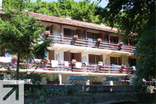
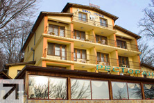
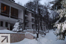
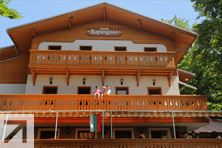
| Accommodation in the neighborhood of the Blue Stones Natural Park |
|
|
|
|
|
 |
|